...WINTER STORM WARNING REMAINS IN EFFECT FROM 7 PM THIS EVENING TO 2 PM EDT TUESDAY...

* PRECIPITATION TYPE...Snow.

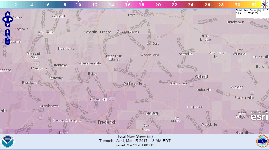
* ACCUMULATIONS...Snow accumulation of 8 to 12 inches with higher amounts across north-central Maryland. Current model places estimates at 13" of snow in Glade Valley.

* TIMING...Snow will overspread the area this evening and persist through Tuesday morning. The heaviest snow will occur between midnight and 8 AM with rates of one to two inches per hour possible.

* IMPACTS...The heavy snow will make many roads impassable and may produce power outages due to the weight of the snow on tree limbs and power lines.

* WINDS...Northeast 5 to 15 mph with gusts up to 25 mph.

* TEMPERATURES...In the upper 20s.

PRECAUTIONARY/PREPAREDNESS ACTIONS...

A Winter Storm Warning for heavy snow means severe winter weather conditions are expected or occurring.  Significant amounts of snow are forecast that will make travel dangerous. Only travel in
an emergency. If you must travel, keep an extra flashlight, food, and water in your vehicle in case of an emergency.